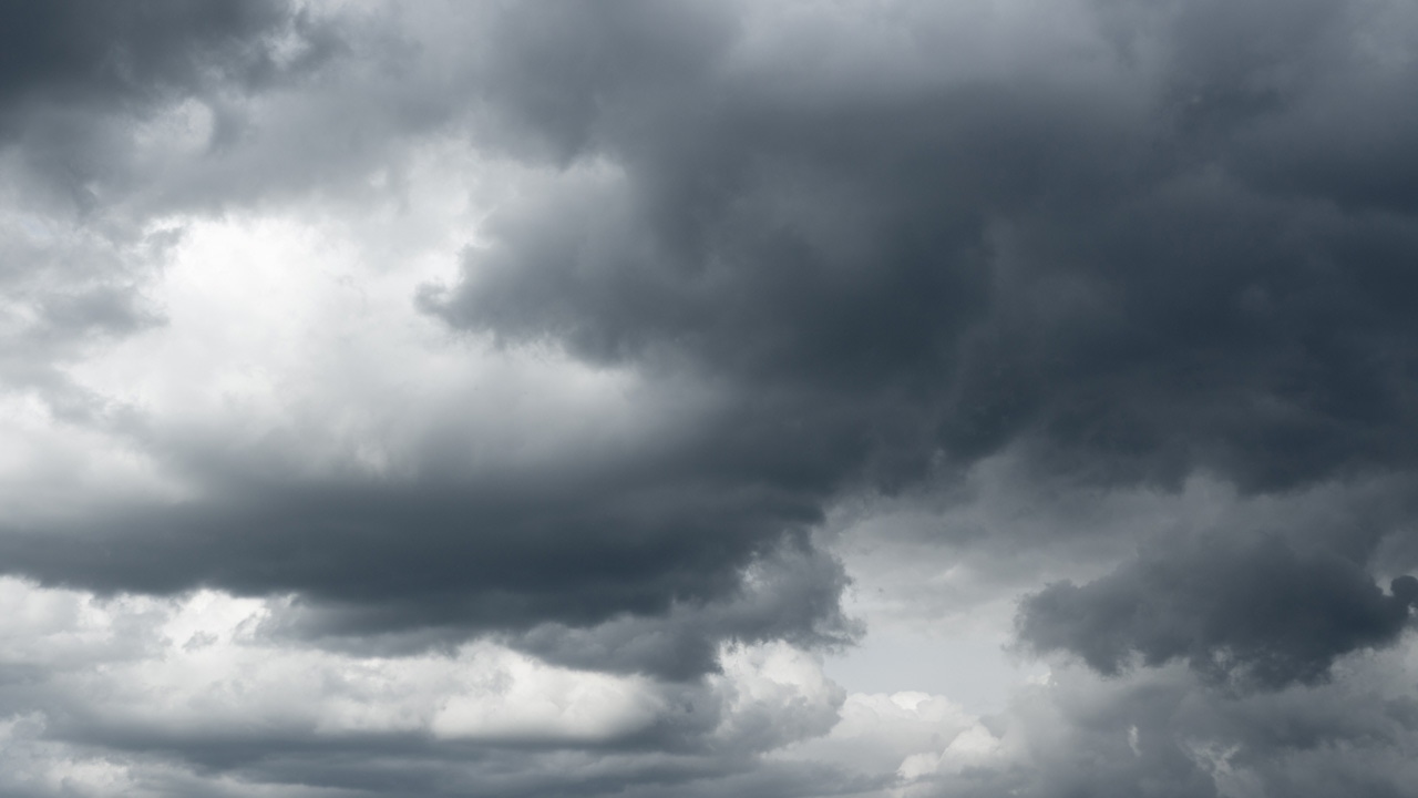
Strong storms possible across Minnesota, Wisconsin throughout holiday weekend
[anvplayer video=”5112053″ station=”998122″]
Meteorologists say Memorial Day weekend will bring a chance of severe weather across the states of Minnesota and Wisconsin.
The National Weather Service (NWS) in the Twin Cities says, as of Friday morning, the risk for severe weather begins Saturday night, with both states seeing a marginal level of risk. However, 5 EYEWITNESS NEWS meteorologist Jonathan Yuhas says there will be some scattered storms moving across Minnesota Saturday morning, with the Twin Cities potentially seeing strong storms with hail between 1-9 a.m.
Large hail and gusty winds are possible starting around the midnight hour and lasting through 6 a.m. Sunday.
According to Yuhas, the storms will be moving through the Twin Cities starting around 11 p.m. Saturday. The Alexandria and Detroit Lakes areas could see hail and damaging winds Saturday evening.
More severe weather is possible for Sunday afternoon and evening, with Minnesota seeing enhanced, slight and marginal risks for severe weather. Yuhas says there will be sunny and humid conditions Sunday afternoon.
General thunderstorms are also possible in the far southeast corner of the state, according to the NWS. Northwest Wisconsin currently has a slight and marginal risk for severe weather during that timeframe.
Meteorologists say hail larger than two inches in diameter, winds of more than 75 mph and tornadoes are all possible Sunday afternoon and evening. Storms are expected to become severe after moving across the state, and then weaken Sunday night east of Interstate 35, according to the NWS.
The unsettled weather pattern is expected to continue into Monday, with storms expected to develop during the afternoon in western Minnesota and then weaken Monday night east of I-35.
According to Yuhas, scattered strong storms will be in northern and western Minnesota Monday afternoon, and strong to severe storms are possible in the Twin Cities, Mankato and Rochester areas after 10 p.m. Monday.
The NWS says two-inch hail, 75 mph winds and tornadoes are again possible Monday afternoon and evening.
Several rounds of storms are expected this holiday weekend, especially across central and western MN. These storms could be severe. Each day is broken down with more details in the graphics. pic.twitter.com/Y8S7rbaSHz
— NWS Twin Cities (@NWSTwinCities) May 27, 2022
Anyone who plans on camping or being outdoors during the holiday weekend should make sure to have multiple ways to receive alerts for severe weather, and also find a place that can be used for shelter in case it is needed.
Have camping or other outdoor plans this weekend? It won’t be a washout, but we’ll likely see several rounds of storms. Before you leave, make sure you have multiple ways of receiving alerts. In addition, find where you can go to get inside to safety if needed. #mnwx #wiwx pic.twitter.com/cdT5GV9cb9
— NWS Twin Cities (@NWSTwinCities) May 26, 2022
Despite the warm temperatures this weekend, lake water temperatures are still cold. Temperatures range from the low 40s to just above 60 degrees, depending on where you are in the state. CLICK HERE to find the latest holiday forecast.