Snowfall helping Minnesota’s drought outlook
[anvplayer video=”5166298″ station=”998122″]
It’s been a snowy winter in Minnesota and it’s not over yet.
Minnesota’s Weather Authority says another 6-8 inches could fall on the Twin Cities and southern Minnesota Thursday into Friday. While Minnesotans may be tired of the snow and having to shovel it, it’s not entirely bad.
After entering the season in extreme drought conditions, the outlook is improving thanks to all of that snow.
The National Weather Service (NWS) says this winter has been the 13th snowiest on record thus far, with nearly 75 inches having fallen at Minneapolis-St. Paul International Airport — the record there is 98.6 inches in 1984 — and it’s making a difference.
“I’d say it’s a pretty significant deal how we’ve been able to bounce back in just one season from an extreme drought to basically removing the drought conditions,” NWS Meteorologist Ryan Dunleavy said.
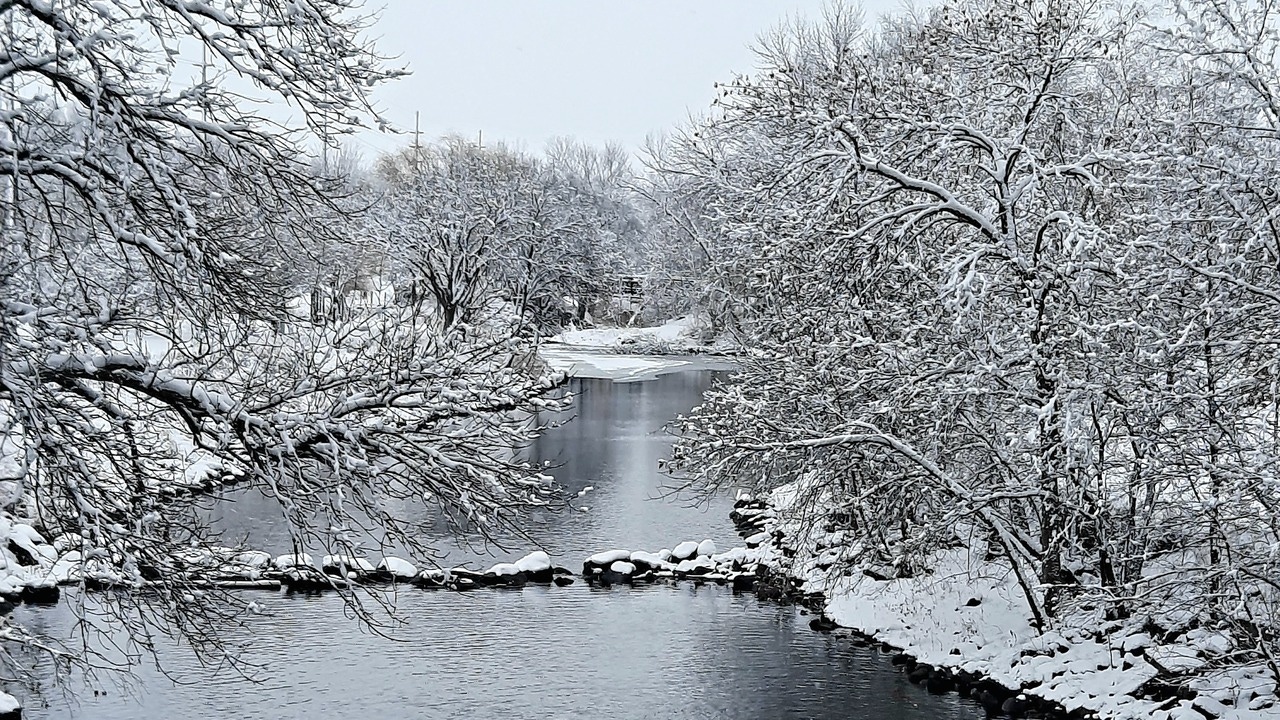
Credit: Viewers Derek and Korissa Meier sent KSTP this photo of a winter scene from December 2022.
Considering how dry the state was, Dunleavy says the snow this winter will be great for farmers, although colder spring temperatures and muddy fields could possibly delay them a bit.
KSTP Meteorologist Jonathan Yuhas also notes that Wednesday will mark the 100th consecutive day with at least an inch of snow cover in the Twin Cities. The average is 80 days with record being 136 days in 1964-65.
One other risk with all the snowfall is the potential for flooding. River forecasters are already projecting some flooding in the next couple of weeks for the Minnesota and Mississippi rivers but, at this point, nothing major is projected yet.
For the latest weather forecast, click here.